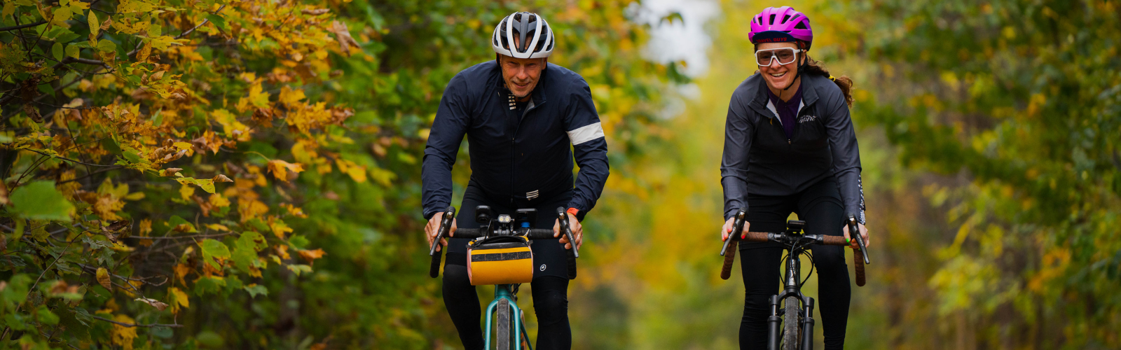
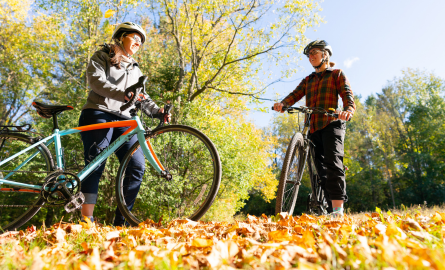
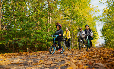
Prepare for an adventure amidst the breathtaking landscapes and challenging trails of Lanark County, as biking enthusiasts dive into an immersive world of excitement and natural beauty.
🚴 Town of Perth Tour
View Town of Perth Cycling/Walking Route
Roll past some of Perth’s compelling sites on this easy, short route (that could be walked). Start at the Big Ben monument in Code Park, opposite Fiddleheads, and meander through the downtown streets to learn a little about the town’s history and lots about the great shops, restaurants and facilities on offer. Park behind Fiddleheads. Washrooms are available in Code’s Mill atrium.
🚴 Carleton Place Mini Tour (7.5 km)
This ride begins at the Information Centre, Gallery and Gift Shop. Stop in and enjoy the Artwork of local artisans before beginning this family friendly tour. This route takes you along the Mississippi Riverwalk, and past the historic town hall, past Riverside Park and the Canoe Club. The Riverwalk trail is narrow and heavily treed. Go slow and enjoy the fantastic scenery or get off your bike and walk along this section. Be careful when crossing Bridge St and use the pedestrian crosswalk.
🚴 Carleton Place Wander(15 km)
This is one you’ll want to take slowing and even stop at times along the way. There is some traffic so ride single file! This is paved but parts of River Road can be bumpy. There is a hill on River Road so hands on brakes here. This is a very scenic route. If time allows stop for a rest near the falls in Appleton.
🚴 Glen Tay Loop (15 km)
This 15-km short, flat route along paved roadways is an excellent beginner route that takes cyclists along the upper Tay River past heritage farmlands and through the scenic village of Glen Tay. Start from the Crystal Palace/Tay Basin in Perth, where you will find ample parking and washroom
🚴 Naismith Loop (22 km)
Start from the Mill of Kintail Conservation Area (where you can park) and take in some area history at the museum before setting out on this 22-km ride through picturesque farmland and forests on the way to Clayton. There is a mix of gravel and paved roads on this route. When you return to the museum, you’ll find a picnic area, washrooms, nature trails along the Indian River and a play structure for kids
🚴 Lanark to Ferguson Falls (24 km)
This 24-km intermediate route along paved roads and through rolling landscapes showcases some fun stops along the way – including a gorgeous golf course, a woolen shop, a campground on the Mississippi and a sugar bush operation near the hamlet of Ferguson Falls. Park at the Lanark Highlands Municipal Office at 75 George Street in Lanark Village. Washrooms are available when the office is open.
🚴 Harper to Balderson (26km)
This lovely beginner route takes you along 26 km of flat paved roadway featuring beautiful farmland and some must-stops. Enjoy the delectable treats at Balderson and the scrumptious baked goods and cute mini critters in Glen Tay. Start from the Crystal Palace/Tay Basin in Perth, where there is parking and washrooms.
🚴 Lanark to McDonalds Corners (39.8 km)
This longer route along County Roads 12 and 8 offers some challenging hills and scenic viewscapes as it passes by conservation areas, natural gems and lovely bed and breakfasts and retreats (where you might want to rest when you are done!). Most of the 39.8-km route is paved, but there is some gravel. Park at the Lanark Highlands Municipal Office at 75 George Street in Lanark Village. Washrooms are available when the office is open.
🚴 Reva’s Museum Tour (41 km), Almonte
This 41-km journey along mostly paved roads and some hard-packed gravel features stops at four local museums. Start anywhere along the route and take in the Mill of Kintail’s R. Tait McKenzie Museum and the Dr. James Naismith Collection, the Mississippi Valley Textile Museum in Almonte and the North Lanark Historical Museum in Appleton. Enjoy the beautiful Mississippi along the way. Parking at the museum
🚴 Perth to Murphys Point (41.3 km)
Challenge yourself with this 41.3-km route that takes you through the hilly terrain marking Canadian Shield country from Perth to Murphys Point Provincial Park. Start from the Crystal Palace/Tay Basin in Perth, where there is parking and washrooms. Take a break or hike through the park. Buy some fresh local produce from farm stands on your way back to town.
🚴 Verna’s Text Book Tour (42 km), Pakenham
This 42-km route on paved and hard-packed gravel is named for naturalist, historian and geologist Verna McGiffin and takes you on a ride into history. The route starts at Pakenham’s Five Arch Stone Bridge (where you can park) and features prehistoric shorelines and beautiful vistas. Rugged rocks and trees mingle with charming heritage architecture to tell the story of this settled land. Check out Verna’s books in the Pakenham library.
🚴 Clayton 50 (50 km, 513 elevation)
Gravel road, ATV trail
Park in Clayton Village and travel around Clayton Lake to Middleville and Hopetown. Points of interest: Clayton Lake, Middleville Museum. Stops: Clayton Store, Hopetown Store.
🚴 Golden Hour (55 km, 450m elevation)
Paved road, gravel road.
Park at Equator Coffee and travel from Almonte to Ferguson Falls and back. A quick detour off this route will take you into Fergusons Falls to cross the Mississippi River or visit Temple’s Sugar Bush. Points of interest: Clayton Lake, St. Patrick’s Church, Temple’s Sugar Bush, Mississippi River. Stops: Clayton General Store, Equator Coffee, Baker Bob’s.
🚴 Around Mississippi Lake (60.23 km, 272m elevation) Carleton Place
Gravel, trail, road
Park at Carleton Junction in Carleton Place and follow this loop for incredible views of Mississippi Lake.
🚴 Mississippi River Tour (79.35 km, 444m elevation) Carleton Place
Gravel, trail, road, single track
Park at Carleton Junction in Carleton Place and travel this route that takes you through a variety of surfaces to see some of the best of Lanark County! Points of interest: Mill of Kintail, Pakenham Five Span Bridge, Mississippi River. Stops: Carleton Place, Almonte, Pakenham.
🚴 Toad in a Hole (74.9 km, 1440m elevation) Hopetown
Gravel, trail, road
A different arrangement of the best gravel in the area, with a quick detour to the GG clubhouse. 38mm tires are ideal here. Points of interest: Dalhousie Lake, Purdon Conservation Area, Upper Park Lake, Woods Lake.
🚴 Mississippi River Unmaintained (73.74 km, 355m elevation) Carleton Place
ATV trail, paths, road.
Park at Carleton Junction in Carleton Place or Equator Coffee in Almonte and travel this loop for a mix of gravel and pavement with lots of twists to keep things interesting. Points of interest: Blakeney Rapids, Mill of Kintail, Town of Carleton Place. Stops: Little German Bakery, Foundry Coffee, Stalwart Brewing, Cheeky Chippy.
🚴 Maberly to Mcdonalds Corners Route (92.8 km)
View Maberly to McDonalds Corners Cycling Route
For a challenging route over the hills and dales of west Lanark County, try this 92.8-km journey along paved roadways. Pause as you pass through the charming villages of Maberly, Glen Tay and Bolingbroke. The route begins and ends from the Crystal Palace/Tay Basin in Perth, where you’ll find parking and washrooms.
🚴 Perth to Westport (87 km)
View Perth to Westport Cycling Route
Challenge yourself to this 87-km journey from Perth to Westport and back. This route follows paved roadway through farmland and Canadian Shield country and past gorgeous lakes. Take a rest at scenic Narrows Lock on the UNESCO World Heritage Site, the Rideau Canal. Enjoy shopping and restaurants at some of the hamlets along the way and in Westport and Perth. The route begins and ends at the Crystal Palace/Tay Basin in Perth, where you’ll find parking and washrooms.
🚴 Ferguson Falls Epic (107.7 km, 1602 m elevation)
Paved road, gravel road, ATV trails.
Park at Temple’s Sugar Bush and follow this winding pair of loops through the Lanark Highlands. Pancake breakfast is a must! Points of interest: Mississippi River, Village of Lanark, Purdon Conservation Area, multiple Lakes. Stops: Temple’s Sugar Bush, Lanark Village Treats, Fitz’s Fresh Cut Fries, Pretty Goods.
🚴 California Dreams (87 km, 786m elevation)
Paved road, gravel road, ATV trails.
Park at Equator Coffee and travel from Almonte on a circuit of Mississippi Mills that will take you through Clayton and Pakenham and along the winding California Road. Points of interest: Clayton Lake, White Lake, Pakenham Five-Span Bridge. Stops: Equator Coffee, Clayton General Store, Cartwright Springs Brewery, Keepers Coffee.
🚴 The Whole Enchilada (148.72 km, 2,514m elevation) Hopetown
Paved road, gravel road, ATV trails.
It’s pretty much everything. Points of interest: Dalhousie Lake, Purdon Conservation Area. Places to stop: Mcdonald’s Corners, Wheeler’s Pancake House, B&T’s Hopetown General Store.
🚴 Seven Wonders Cycling Route (213 km, 2208m elevation)
Paved road, gravel road, ATV Trail.
Not for the faint of heart! This 11(ish) hour ride will take you across the county to visit all the Seven Wonders of Lanark County. Starting in Pakenham, you will travel through the wilds of the Lanark Highlands, swing past the Rideau Canal, visit the heritage town of Perth and finally pass by Carleton Place on your way to finish up in Almonte. This is truly a sampling of all the best of Lanark County for riders who want a challenge, or a great opportunity to create a multi-day journey.
Parts of this route are remote for long stretches. It is advised that you self-support during this trip by laying caches of water and supplies along the route ahead of time.
Bikepacking and Longer Routes
Arrive in Lanark County by bike, or start your longer journey here, with one of these longer cycling routes. From CycleMORE, which connects Lanark County to the west end of Ottawa by bike, to the Trans Canada Trail connecting all of Canada, you’ll find a way to make Lanark County a favourite part of your journey.


Cycle MORE leads adventure seekers on trails alongside the waterways of the Ottawa and Mississippi Rivers. Cyclists can begin anywhere on the 200-kilometre loop that ties the National Capital Region’s famous bike paths to picturesque Lanark County’s rail trails and backroads. CycleMORE passes through Almonte and Carleton Place along the OVRT.
The Log Driver’s Waltz is an 800 kilometre, multi-day cycling route that traverses a large variety of terrain in the Ottawa Valley and Outaouais regions of Ontario and Quebec and passes through Ottawa, Canada’s national capital, with its World Heritage Site the Rideau Canal. The Grand Depart takes place each year in Almonte.
Véloroute Voyageur/ Voyageur Cycling Route is a developing long-distance cycling route spanning over 645 km connecting 29 northern and rural communities from Sudbury to Ottawa. Following the path of the Voyageurs along the great waterways that supported transportation and trade for several thousand years, the Route celebrates a national significance with strong connections to the land and the people.
The Trans Canada Trail offers a wide range of activities through a variety of landscapes – urban, rural and wilderness; along greenways, waterways and roadways. Stretching 28,000 km from coast to coast to coast, it embodies the vastness of our terrain and the diversity of our people.
Bicycle Rentals, Parts & Repair
Parts, repair and sales:
📍Almonte Bicycle Works (101 Bridge St, Almonte)
📍Joe Mamma Cycles (66 Moore St, Carleton Place)
📍Self Repair Station @ Almonte Old Town Hall (14 Bridge St, Almonte)
📍Self Repair Station @ Carleton Junction (42 Moore St., Carleton Place)
Contact Us
Lanark County Tourism
99 Christie Lake Road
Perth, ON
K7H 3C6
Phone
613-267-4200
Email Lanark County Tourism
Lanark County Tourism Industry Newsletter
 Subscribe to this page